
President Trump shared AI-made maps showing the United States absorbing Canada, Greenland, and Venezuela, and critics lit up online.
Story Highlights
- Trump posted AI-style images that portrayed parts of North and South America as U.S. territory.
- Reports say the Truth Social posts offered little explanation and sparked debate abroad.
- Coverage framed the images as trolling world leaders during a wider posting spree.
- Analysts say such AI visuals often work as memes that split audiences and drive attention.
What Trump Posted And How It Looked
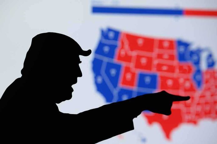
News outlets reported that President Trump shared an artificial intelligence-style image that displayed United States flags over Canada, Greenland, and Venezuela. The picture appeared to show Trump with European leaders while a map behind them rendered those countries as part of America. A related account described an “expanded U.S.” map posted on Truth Social and said it appeared to be based on a prior photo from a 2025 meeting. The posts offered little added text, fueling rapid reaction.
Separate coverage said Trump had re-shared similar images more than once and that the graphics implied annexation of Canada, Greenland, and Venezuela. Some outlets described the posts as trolling aimed at world leaders. Others highlighted that the images surfaced as diplomacy with Europe faced strain over Arctic interests and Greenland’s status. The attention centered on the visual itself, which used bold flags and colors to suggest a larger American map.
Reaction At Home And Abroad
Commentary abroad and on social media called the images provocative. Writers said the pictures drew swift criticism and pushed allies to respond online. One report said European figures appeared in the composite, which added to the sense that the post targeted them directly. Another report noted that the map showed a wide sweep of North America under United States colors, which intensified debate about intent and tone in the images. No formal policy change accompanied the posts.
Coverage from Latin America and Europe framed the images as aggressive or taunting, reflecting long-running sensitivities about sovereignty and energy routes. The blend of political theater and artificial intelligence elements allowed readers to project their own meaning. Supporters saw satire and strength. Critics warned that even memes can raise diplomatic friction. The focus remained on the optics, not on any official order or legal step tied to borders.
Why AI Political Images Keep Driving Headlines
Media researchers say recent elections saw more open use of artificial intelligence visuals as memes, not hidden fakes. Reporting found that the most visible use of artificial intelligence in politics has often been content shared in public by politicians or their backers to grab attention and fire up their base. This kind of post can split audiences. Fans call it humor or trolling. Opponents claim it signals threats or extreme plans. The clash fuels more clicks and coverage.
Scholars tracking online propaganda describe a rise in artificial intelligence images that blur satire and message, especially on platforms built for speed. They argue these pictures can shape debate, even when viewers know they are stylized or edited. That helps explain why a single map can dominate a day of news. The image is simple, the meaning is disputed, and each side can read its own story into the flags and lines.
What Matters For U.S. Interests And Conservative Priorities
The United States has real stakes in the Arctic, energy security, and secure borders. Greenland touches shipping lanes and mineral access. Canada remains a core trade and defense partner. Venezuela ties into hemispheric stability and the oil market. A map meme does not change policy. But it does draw eyes to questions of national strength, deterrence, and who sets the terms in our neighborhood. Conservatives want firm borders, secure energy, and leverage against hostile regimes.
Officials will continue to weigh alliances, resource deals, and defense pacts in quiet rooms, not on a meme. That is where results come from. Strong policy should protect American workers, lower costs, and keep our military edge. That means smart trade with Canada, careful Arctic planning, and pressure on corrupt socialist rulers in Latin America. Images may troll critics. Results come from deals that boost U.S. industry, secure minerals, and keep our borders under American control.
The Bottom Line
Trump’s posts used a striking artificial intelligence image to project American reach and spark debate. Reports confirm the countries shown and the platform used, and they describe a wave of reaction online and overseas. Analysts say such visuals often serve as attention engines in a polarized time. For readers who care about sovereignty, energy, and secure borders, the test is not in a picture. The test is in policy that defends American power and lowers costs at home.
Sources:
mediaite.com, the-express.com, latintimes.com, nypost.com, timesofindia.indiatimes.com